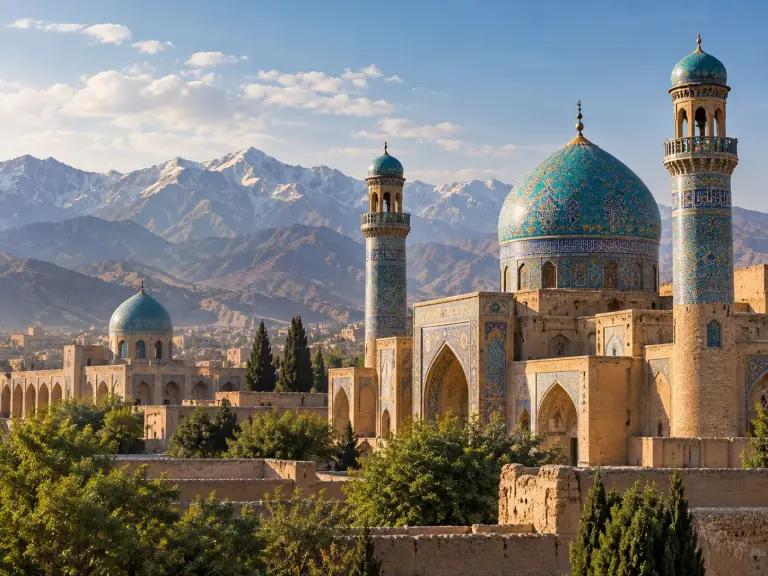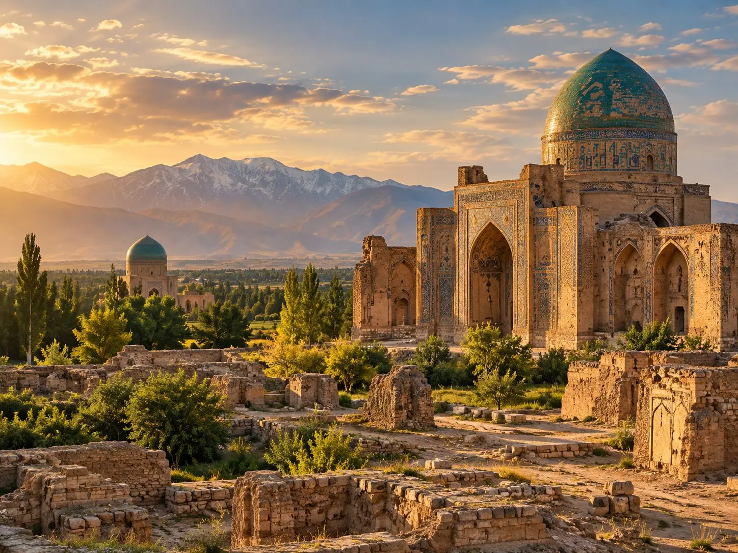
Today Balkh is a small town in a green oasis, only about 20 kilometres from Mazar-e Sharif. Walk out from its central garden, though, and the ground rises into long ridges of packed earth: the remains of walls that once enclosed one of the great cities of the eastern Islamic world. Medieval geographers praised Balkh as Umm al-Bilad, the “Mother of Cities,” and the name has stayed with it. A walk through the old city is a walk through layers of time, with Bactrian, Buddhist, early Islamic and Timurid remains often standing within a few kilometres of one another.
Walls upon walls
The most substantial survivals of ancient Balkh are its earthen ramparts, built one upon another and rising more than 20 metres high at the citadel, the Bala Hisar, and along the southern side. UNESCO notes that traces of the earthen walls can still be followed for some 10 kilometres, around an urban site of about 11 square kilometres.
Archaeologists have read these walls almost like tree rings. The circular Bala Hisar marks the city’s earliest limit; its plan probably goes back to the Achaemenid period, and its later Timurid circuit largely reuses a massive Greek rampart that withstood a siege by the Seleucid king Antiochus III in 208–206 BC. The walled city later grew southward along the caravan road to India and then eastward, and those walls, with their square towers, remained in use until the Mongol destruction.
The Mongols first appeared at Balkh in 1220, and in the spring of 1221 the city was savagely sacked; according to Encyclopaedia Iranica it remained in ruins for more than a century. When Timur and his successors refortified Balkh, they shifted it slightly westward, probably because the eastern quarter had turned marshy after the irrigation system was destroyed. The new rampart, built from materials salvaged from the ruins, had semicircular towers and a monumental southern gate, now lost.
Stupas and the New Monastery
Long before Islam, Balkh — ancient Bactra — was a sacred city. UNESCO describes it as a spiritual centre of the Zoroastrian religion for a long period, with a rich temple to the goddess Anahita, and notes that visitors in the 7th century AD reported many Buddhist monasteries and stupas.
Outside the walls, these Buddhist monuments proved more durable than many later buildings, thanks to the sheer mass of their mud-brick construction. In 1924–25 the French scholar Alfred Foucher identified four stupas along the roads around the city and excavated the largest, Top-e Rustam, to the south. Stripped of its decoration, it can still be reconstructed as a square platform 54 metres on each side carrying a dome 47 metres across — in Iranica’s assessment, the most monumental stupa recorded north of the Hindu Kush.
Its location and size match the “New Monastery” described by the 7th-century Chinese pilgrim Xuanzang: the Nawbahar, famous in Islamic sources because the Buddhist ancestors of the Barmakid family, later ministers at the Abbasid court, had been its administrators. Two other stupas, Charkh-e Falak and Asia-ye Kohnak, have mosques built onto their remains, a sign of how sacred places endured across changes of faith.
Nine domes south of the walls
About three kilometres south of the walled city stands one of the most important early Islamic buildings of the region: the mosque known as Noh Gonbad (“Nine Domes”) or Haji Piyada. Identified in 1966, it is a compact square of baked brick, about 20 metres on each side, whose interior was divided by round pillars and arches into nine equal bays, each once crowned by a dome. All nine domes have fallen; three columns and two arches still stand.
What survives above all is its decoration: deeply carved stucco covering capitals, arches and pillar bases with vine scrolls, grape leaves, fir cones, palmettes and rosettes. Iranica, comparing it with the stuccoes of Samarra, suggests the first half of the 9th century; the Aga Khan Trust for Culture (AKTC) gives a range from the early 8th to the first half of the 9th century and describes the mosque as believed to be the oldest and most important early Islamic-era building in Afghanistan. Working with Afghan and international partners, AKTC has stabilised the damaged column and arch and protected the plaster.
The blue shrine at the centre
Back in the heart of town, Balkh’s most famous monument rises from a garden: the funerary mosque of Khwaja Abu Nasr Parsa, a theologian who is buried in the platform in front of it. Iranica dates the building to 1462–63, shortly after his death (UNESCO gives 1460–61). A tall portal, or pishtaq, flanked by two minarets, each fronted by slender corkscrew columns, stands before a fluted dome. The façade and outer dome were sheathed in tile whose dominant tone Iranica describes as a cold, silvery blue.
Inside, sixteen latticed openings at the base of the drum light a richly worked interlace of stucco, finished with painted floral motifs. Iranica ranks the building, together with the contemporary mosque at Anau in Turkmenistan, among the finest examples of late Timurid memorial architecture. Large areas of tile have fallen away because of an inadequate method of fixing, yet the fluted blue dome still rises over the town’s central garden.
Facing the shrine across the garden is the tiled entrance iwan of a madrasa built by Sayyid Subhan Quli Khan in the late 17th century, when Balkh was the seat of heirs to the throne of Bukhara under the Ashtarkhanid dynasty (1599–1751); only this iwan survives. Nearby stands the tomb of Rabia Balkhi, the celebrated woman poet of the Dari language. AKTC has consolidated both structures and rehabilitated the 3.5-hectare park around the shrine, planting more than 1,200 trees and flowers.
A city that moved
Balkh’s history is one of breaks and recoveries. Under the Samanids of the 9th and 10th centuries it flourished as a city of scholars and merchants; one of its gates was named after Indian traders and another after the Jewish community. After the Mongol catastrophe it recovered under the Timurids, ruled in turn by Timur, Shah Rukh and Ulugh Beg, and later by a brother of Sultan Husayn Bayqara. In 1641–47 it was briefly held by the Mughals, and in 1751 Ahmad Shah brought it into a state separate from Transoxiana for the first time since the Mongol conquest.
By the 19th century the town had shrunk, and in 1866 it lost its role as an administrative centre to Mazar-e Sharif, which lies in the same oasis and draws on the same canals from the Balkhab river. A new town was laid out from 1934 in concentric circles around a central square with eight radial streets. Today the shrine garden lies at the heart of town, and a short walk in any direction leads back through the centuries, to the earthen walls, the stupa mounds and the nine broken domes of the “Mother of Cities.”