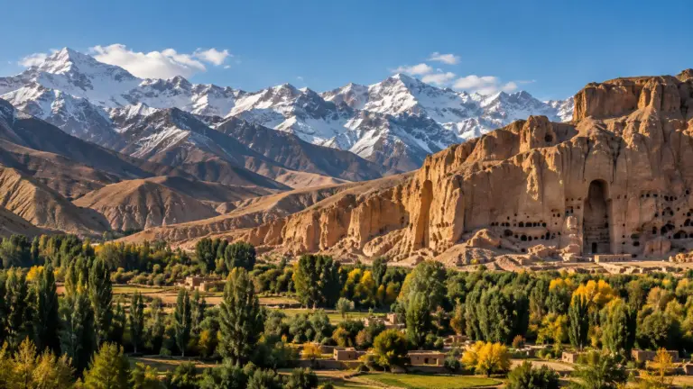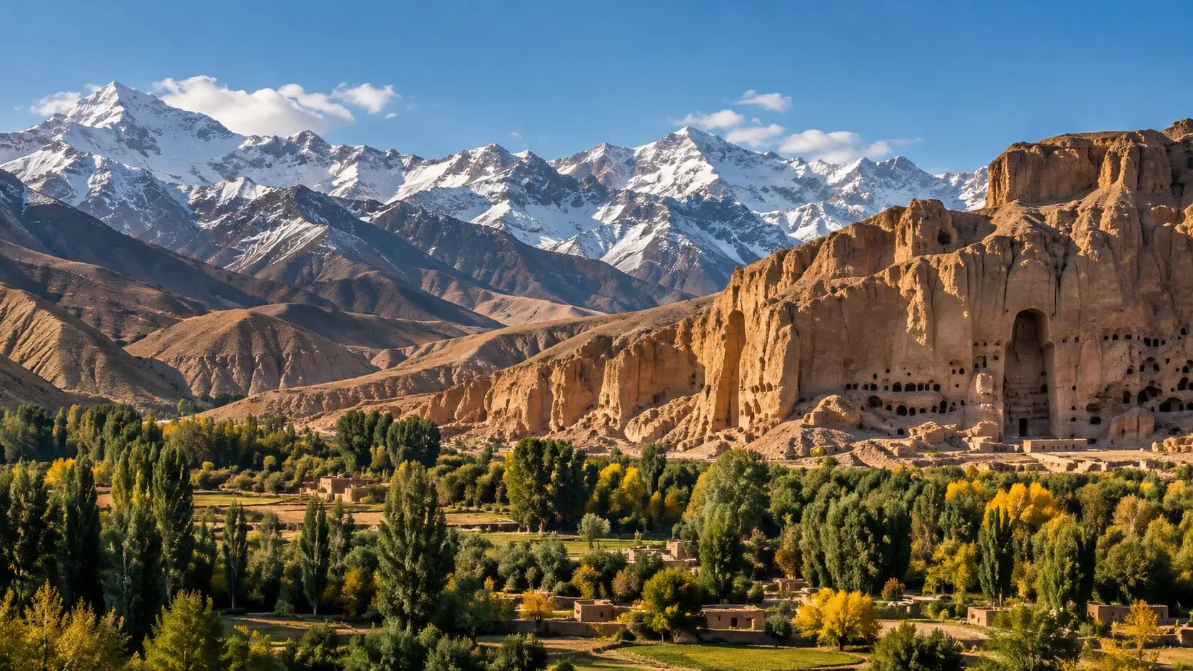
Bamyan lies in a long valley in the central highlands of Afghanistan, enclosed between the Koh-e Baba range to the south, which rises above 5,000 metres, and the westernmost spurs of the Hindu Kush to the north. The basin is about 50 km long and at most 15 km wide, and lies between roughly 2,500 and 3,000 metres above sea level. Along its northern side runs a high cliff, honeycombed with caves and carved with the niches of two colossal Buddhas, which made Bamyan one of the great Buddhist centres of the ancient world.
A halt on the mountain roads
Bamyan owed its rise not to farming, which is hard at this altitude, but to its position on the roads and passes linking Bactria in the north with the Kabul basin and northwestern India. To the east, the Shibar pass gives easy access towards the Ghorband valley. The fortress of Shahr-e Gholghola, in the middle of the valley, marks the original settlement, a stopping place on a branch of the Silk Road between China and India.
The name goes back to the Middle Persian Bamikan, and Chinese texts mention the kingdom from the 5th century. The Chinese pilgrim Xuanzang, who passed through in the first half of the 7th century, left a valuable description of its monuments and religious life, and in 727 the Korean monk Huichao found Bamyan an independent and powerful kingdom.
Buddhas in the cliff
The two standing Buddhas, 38 and 55 metres tall, stood in niches decorated with wall paintings, surrounded by numerous caves that served as monasteries, chapels and sanctuaries. The paintings, in colours such as lapis blue and red ochre, blend Indian, Hellenistic, Roman and Sasanian influences into the Gandharan school of Buddhist art. More caves lie in the side valleys of Kakrak and Fuladi.
The statues were deliberately destroyed in March 2001, a loss condemned around the world. In 2003 the valley was inscribed on the World Heritage List as the “Cultural Landscape and Archaeological Remains of the Bamiyan Valley”, a property of eight separate sites, and placed on the List of World Heritage in Danger. Since then UNESCO has led work to consolidate the niches and safeguard the surviving fragments.
Fortresses of the Islamic era
The valley’s people embraced Islam gradually; its local rulers bore the title sher, meaning king. Under the Ghurids, Bamyan was for nearly a century (1155–1212) the capital of a kingdom stretching north of the Amu Darya. In 1221 Chinggis Khan razed the city. Its fortresses still stand as ruins: Shahr-e Gholghola in the centre of the valley and Shahr-e Zuhak, the “Red City”, about 15 km to the east on a rocky spur.
Bamyan town is the centre of a province created in 1964. About 90 km to the west lie the blue lakes of Band-e Amir, where Hazara villagers have long fished and used the cascades to turn water mills.