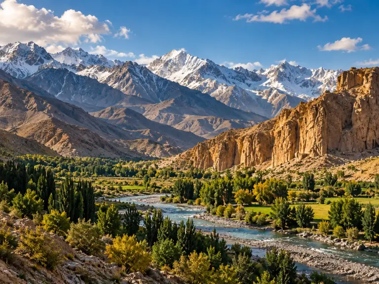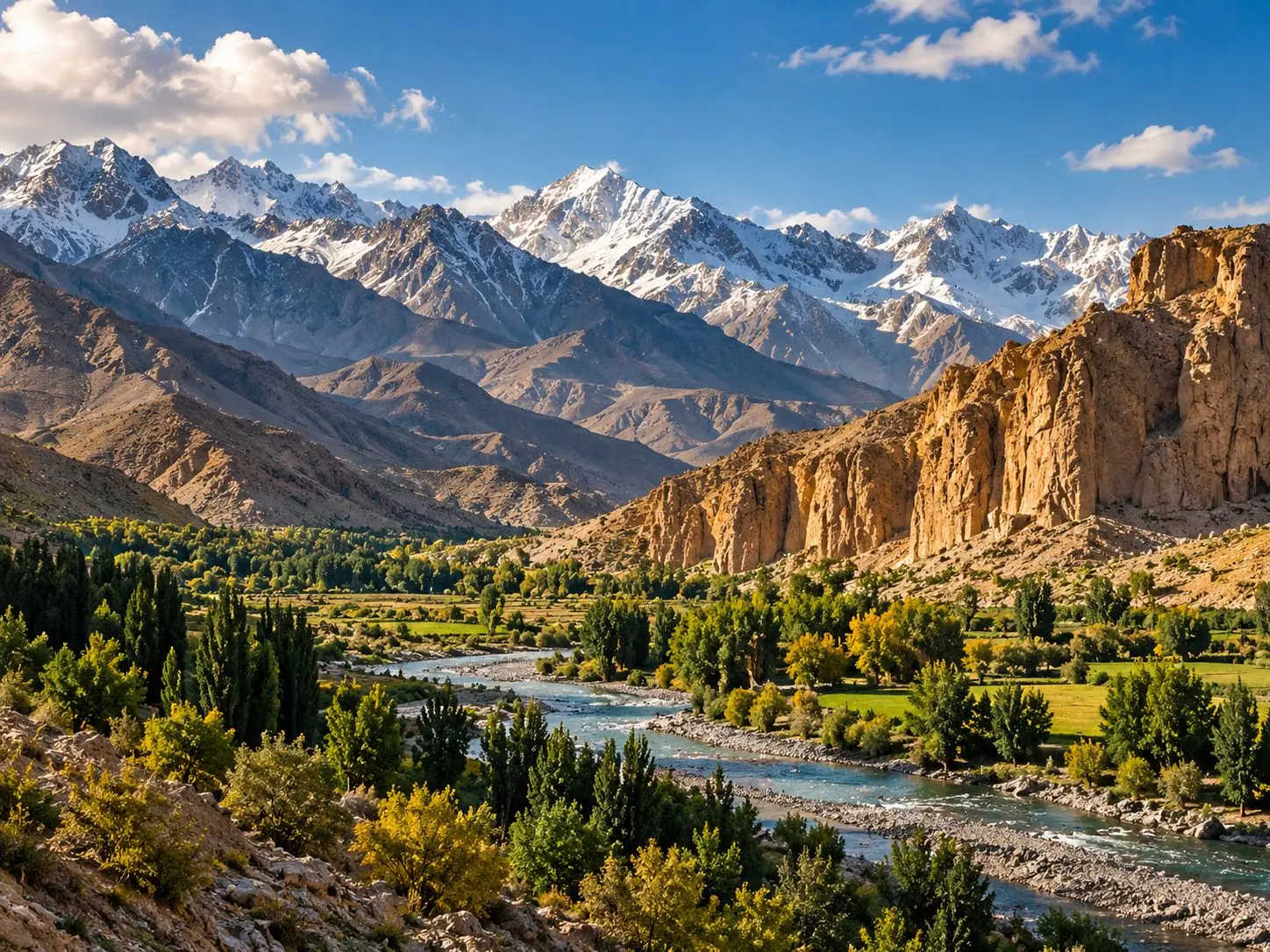
In the far northeast of Afghanistan, a slender arm of land reaches east from Badakhshan towards China. This is the Wakhan, a high valley that is in places less than 20 kilometres wide, with Tajikistan to the north, Pakistan to the south and China at its eastern end. Here the Hindu Kush meets the Pamirs, and here rise the headwaters of the Amu Darya. Even the valley floor lies well above 2,500 metres, and the broad Pamir valleys at its eastern end begin at about 4,000. Life at this height is shaped by cold, by distance and by water that comes almost entirely from snow and ice.
A corridor of travellers and treaties
Long before modern borders, the Wakhan formed part of the ancient trade routes now remembered as the Silk Road. The Chinese Buddhist monk Xuanzang (602–664) travelled this way, and so did Marco Polo (1254–1324), whose name lives on in the region’s great wild sheep. Marco Polo also praised the rich pastures of the high country and the quality of its meat, and singled out the pamir: a wide valley carpeted with grass and valuable fodder plants.
The corridor’s modern outline was drawn in the nineteenth century, when the Russian and British empires were competing for influence in Central Asia. Under an agreement of 1895 the narrow strip was left to Afghanistan, so that the two empires’ territories would never touch. That summer a boundary commission of British, Russian and Afghan delegates met in the eastern Wakhan and spent about two months travelling some ninety miles (about 145 kilometres) of the frontier, marking the line and signing protocols, before ending its work on 14 September 1895.
Wakhi villages along the river
Most of the Wakhan’s people are Wakhi, farmers and herders who live in permanent villages surrounded by irrigated fields. A botanical study based on fieldwork in 2010 put their number in Afghan Wakhan at about 17,000, spread along the whole valley from just outside the town of Ishkashim to Sarhad, the easternmost village. They speak Wakhi, which they call Xikwor, an Indo-Iranian language, and are also fluent in Dari. They follow the Ismaili tradition of Shia Islam.
Farming here works at the edge of what is possible. The valleys receive on average less than 100 millimetres of precipitation a year, very little of it in summer, and most running water comes from melting snow and glaciers, so every field depends on irrigation. Wheat and barley grow close to their upper altitude limits, alongside millet, peas, beans and grass pea.
A traditional Wakhi house is built of timber, stone and mud-brick around a central living room, with an open fireplace, a smoke-hole in the roof and five pillars holding the roof up. Families keep yaks, cattle, horses, donkeys, goats and fat-tailed sheep. In summer most Wakhi move with their animals to pastures, either on the Hindu Kush slopes above the valley or up in the Big and Little Pamir.
Kyrgyz camps on the high Pamirs
Higher still live the Afghan Kyrgyz, a small community of Turkic-speaking Sunni herders. In 2010 they numbered about 1,250 people, divided almost evenly between the Little and the Big Pamir. Most men are also bilingual, in Dari in the Big Pamir and in Wakhi in the Little Pamir.
The Kyrgyz are semi-nomads who move between fixed sites three or four times a year: spring camps (baaluu), summer camps (jailoo), autumn camps (küzdöö) and winter camps (kyshtoo). They live in yurts, and some families also have huts at their winter settlements. Women who do not travel for trade or illness live all year round between about 4,000 and 4,500 metres.
Nothing is grown at this height. The Kyrgyz keep great flocks of fat-tailed sheep, together with yaks, camels, horses, donkeys and goats, and everything else they eat apart from meat and dairy has to be bought or bartered. Each autumn the men make one trip down to the Wakhan and beyond to trade, bringing back wheat, barley, rice and cooking oil.
Wakhi and Kyrgyz live as neighbours yet keep distinct ways. When botanists compared how the two communities name and use plants, they found many uses in common but few signs that knowledge had passed directly from one group to the other, a reminder that people sharing the same mountains can still hold separate traditions.
Yak, hearth and the long cold
Across this part of High Asia the yak is indispensable. As the geographer Hermann Kreutzmann describes, its milk serves the household and is turned into yoghurt, butter, clarified butter (ghee) and dried curd (qurut); its hair is made into rope and rugs; its dung is burned as fuel; and its meat is dried to last through the winter.
Fuel is precious in a landscape that lies mostly above the tree line. On the high Pamir the only woody fuel comes from low shrubs such as wormwood (Artemisia), used mainly as kindling for yak dung, pressed sheep dung and the occasional cut of peat. Around the hearth, tea is constant: black tea, drunk many times a day by men, women and children alike, with generous amounts of milk or cream. Salt comes either from the bazaar or from local rock salt, crushed and dissolved in water.
The pastures themselves change with height. Up to about 4,000 metres the grazing slopes are dominated by hardy perennials such as wormwood, milkvetch and ephedra; sedge meadows cover the higher valley flats; and above about 4,800 metres grows a rich alpine flora of thyme, saxifrage, primulas and other flowers.
The same mountains shelter remarkable wildlife: Marco Polo sheep, which National Geographic describes as the world’s largest wild sheep, with horns that can stretch nearly 1.8 metres, as well as Himalayan ibex and markhor, along with snow leopards, wolves, brown bears, lynx and red foxes. In 2014 Wakhan National Park was established to protect them. Covering about 10,900 square kilometres and home to about 15,000 people, the park was set up so that residents keep the right to live there and share in managing it.
Those who know the Wakhan describe an isolated, cold, high mountain valley walled in by peaks on both sides. Distance there is still measured by the pace of a traveller on foot or with mules, donkeys, camels or yaks. And the year in the Wakhan still turns on a rhythm older than any border: the villages and their fields in winter, the high grass when the snow retreats.