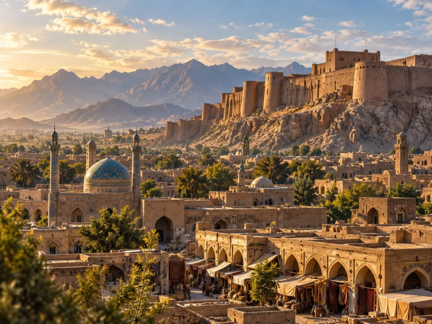
Kandahar, one of Afghanistan’s most important cities and the capital of Kandahar Province, stands near the top of a broad alluvial fan where the Arghandab River meets its tributary, the Tarnak, at about 900 to 1,000 metres. Watered by canals and underground karez, this oasis of grain fields, orchards and gardens stretches about 70 km from east to west, bordered on the south by the sands of the Registan desert. It has long been a crossroads, on one of the main routes from the Iranian plateau into the Indian subcontinent.
Old Kandahar and the Qaytul ridge
The older city, called Shahr-e Kohna (Pashto Zor Shar), lies a few kilometres from the modern town at the foot of the rocky Qaytul ridge. Excavations have shown that people settled here from about 700 BC, and its citadel goes back at least to the 6th century BC. Nearby, a bilingual Greek and Aramaic rock inscription of the Indian emperor Ashoka was discovered in 1958, proof of an important city on India’s western frontier in the 3rd century BC. A Buddhist stupa and monastery still crown the ridge.
The name Kandahar first appears in the 9th-century Arab historian al-Baladhuri. Its origin is still debated: scholars have linked it to ancient Gandhara or to the Indo-Parthian king Gondophares, while the popular link with Alexander, Iskandar, is not supported.
Babur, Nader Shah and Ahmad Shah
Babur captured Kandahar in 1507 and finally secured it in 1522. At the northern end of Qaytul, a flight of rock-cut steps known as Chehel Zina leads to a chamber with a Persian inscription dated 1531, listing the lands held by the Mughal founder. In the 17th century the French traveller Tavernier described Kandahar as a great city on the caravan road to India, fiercely contested by the Safavids and Mughals. Nader Shah took and destroyed the old city in 1738 after a siege of a year and a half.
In 1747 Ahmad Shah Durrani was chosen as king and received his investiture in Kandahar’s Grand Mosque. He founded a new city, Ahmad Shahi, called on his coins “the noblest of cities”. Two main streets crossing at right angles divided it into four quarters, with a domed bazaar at the crossing, and a nine-metre wall with six gates surrounded it. It remained the capital until the 1770s, when Kabul took its place. Ahmad Shah’s octagonal mausoleum, crowned by a blue-tiled dome, stands beside the shrine of the Kherqa Sharif, the Cloak of the Prophet, built around 1770.
Orchards and trade
In the 19th century Kandahar traded actively with India and Iran. Hindu and Persian merchants kept hundreds of shops, and the city sent out large quantities of dried fruit, especially grapes and apricots, as well as horses.
Kandahar Province has long been known as Afghanistan’s main pomegranate-growing area, prized for the quality of its fruit. The leading variety, the Kandahari, grows best below about 1,000 metres, and yields are highest in Arghandab district. The climate is semi-arid, with only about 164 mm of rain a year, so the orchards depend on irrigation.